
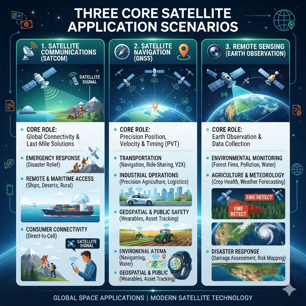

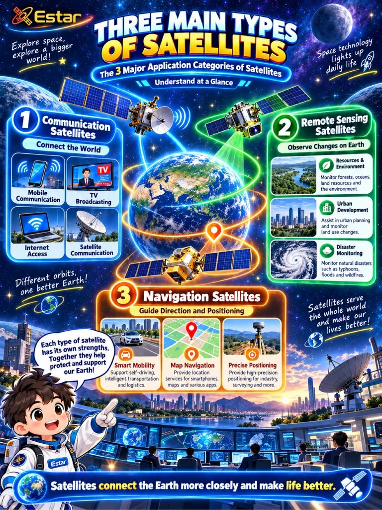
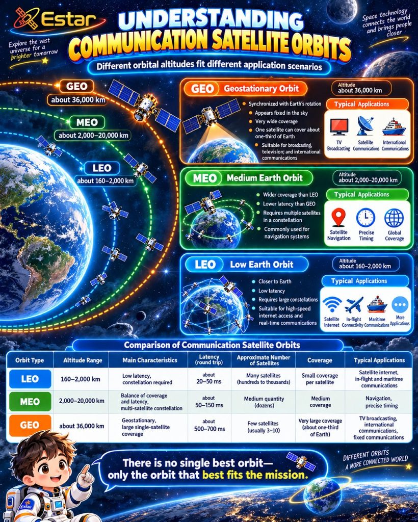
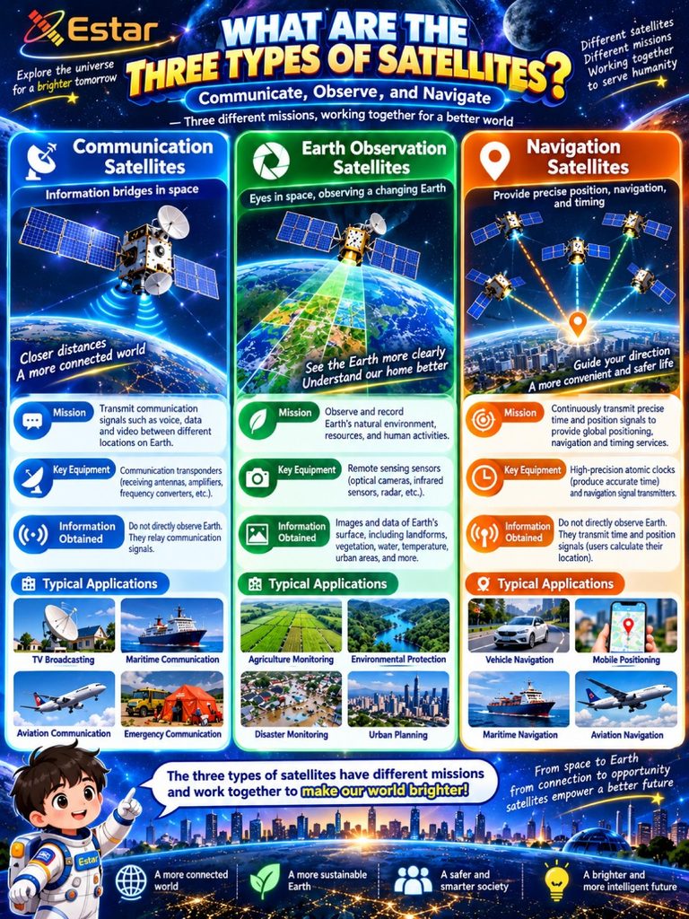
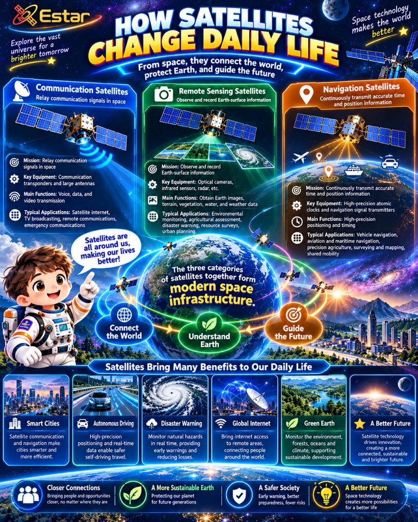
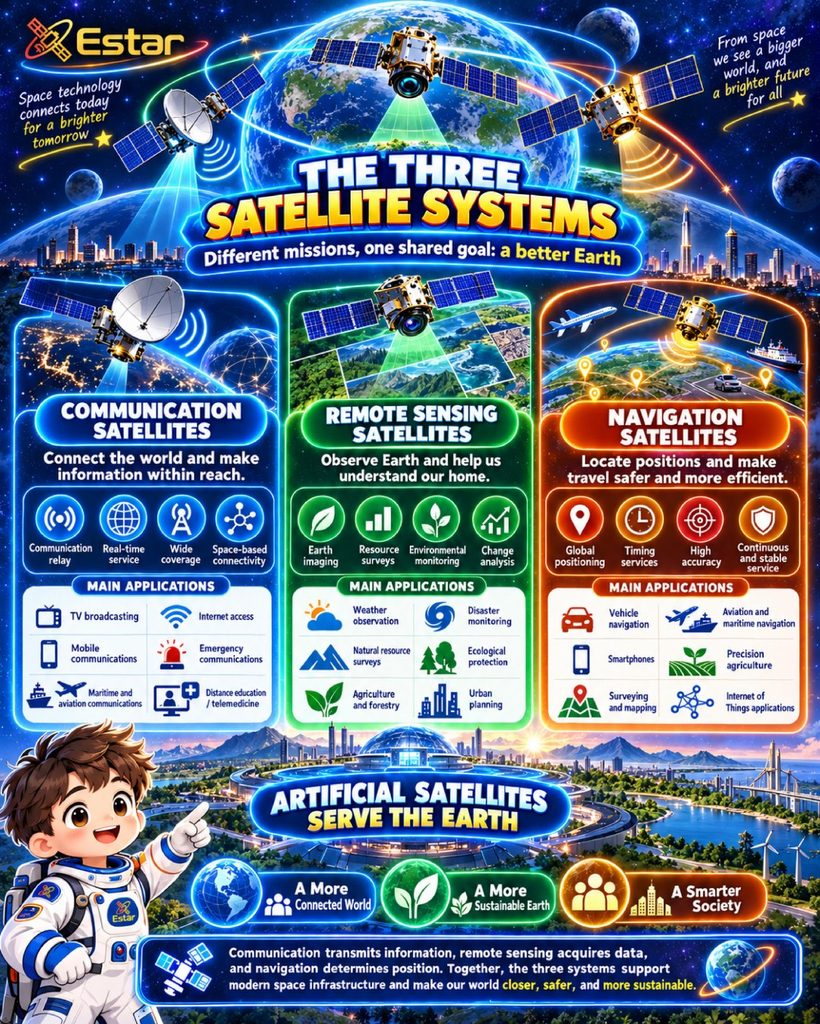
The three core functional sectors and application scenarios of satellites are Satellite Communications (SatCom), Satellite Navigation (GNSS), and Remote Sensing (Earth Observation).
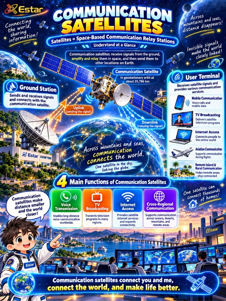
1. Satellite Communications (SatCom)
- Core Role: Extending network and signal coverage to areas unreachable by terrestrial cellular networks, effectively resolving “last-mile” blind spots.
- Key Application Scenarios:
- Emergency Communications: Providing a vital lifeline for rescue operations during severe natural disasters (e.g., earthquakes, tsunamis, floods) when ground infrastructure is destroyed.
- Remote & Maritime Coverage: Delivering broadband internet access to ocean liners, remote deserts, high-altitude commercial flights, and isolated rural communities.
- Consumer Electronics: Direct-to-cell (D2C) capabilities enabling smartphones to make satellite voice calls, send messages, and dispatch SOS alerts.
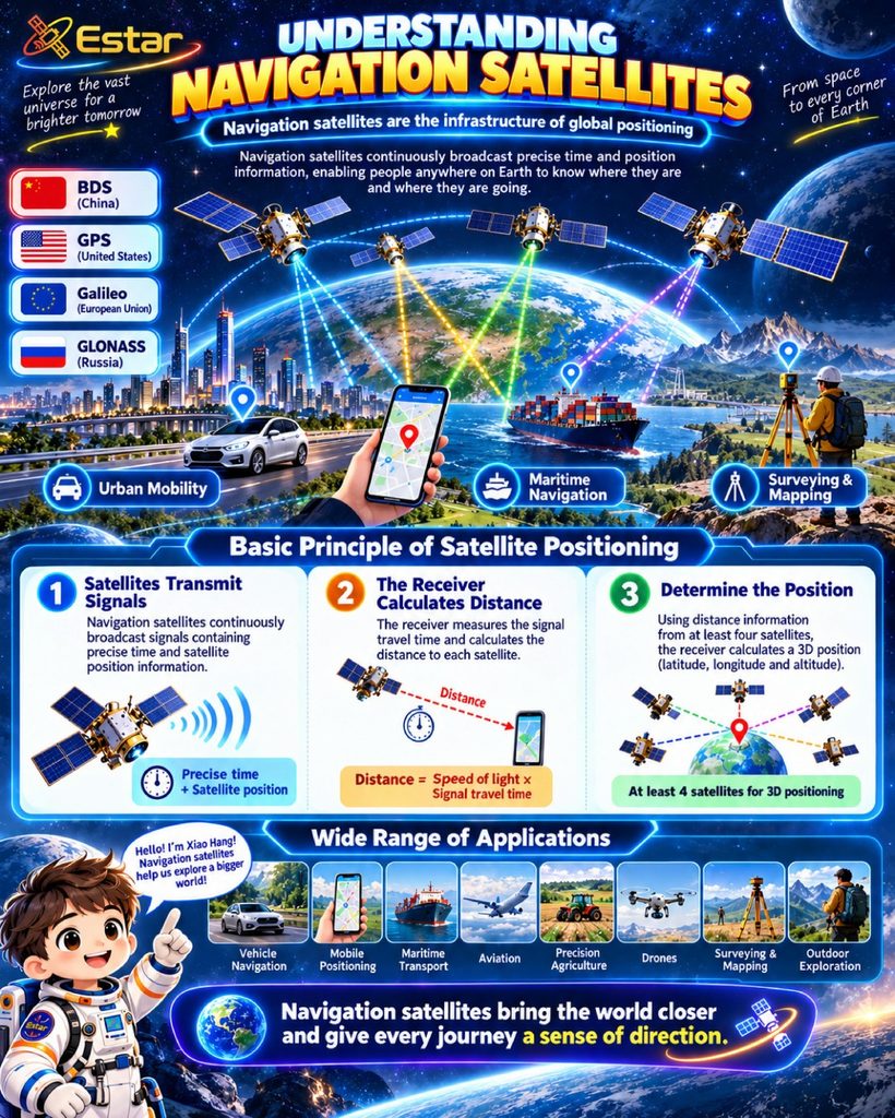
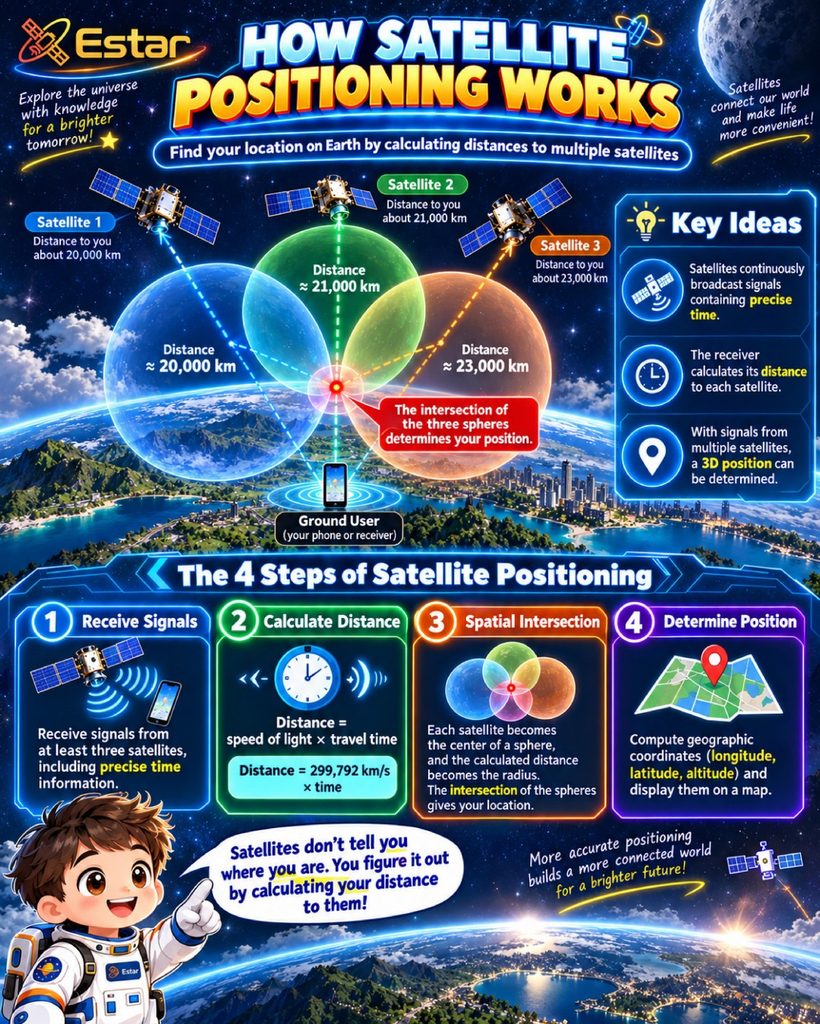
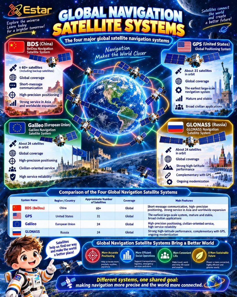
2. Satellite Navigation (GNSS)
- Core Role: Providing precise, real-time location, speed, and time synchronization (Time/Space) data globally (e.g., GPS, BeiDou, Galileo).
- Key Application Scenarios:
- Transportation & Mobility: In-car navigation, ride-hailing dispatch systems, and vehicle-to-everything (V2X) coordination for autonomous driving.
- Industrial Operations: Precision agriculture (autonomous tractors), power grid time synchronization, and logistics supply chain tracking.
- Geospatial & Public Safety: High-precision monitoring of geological hazards (e.g., landslides, dam deformations) and location services in consumer wearables.
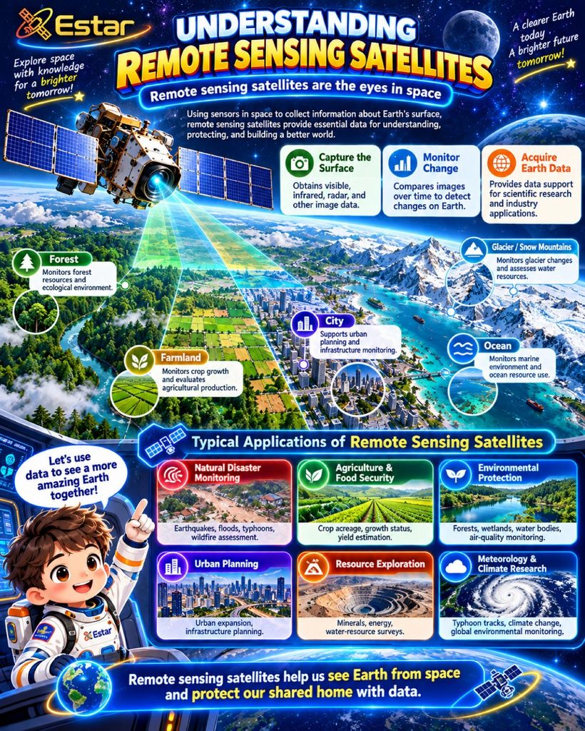
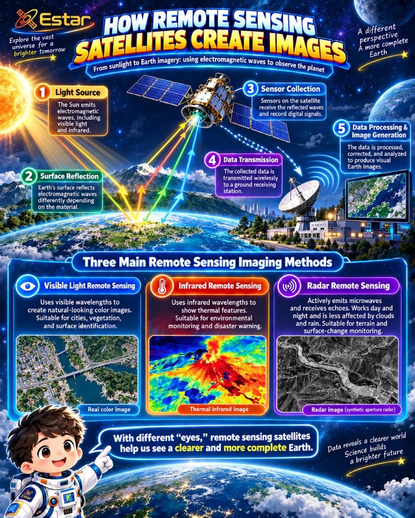
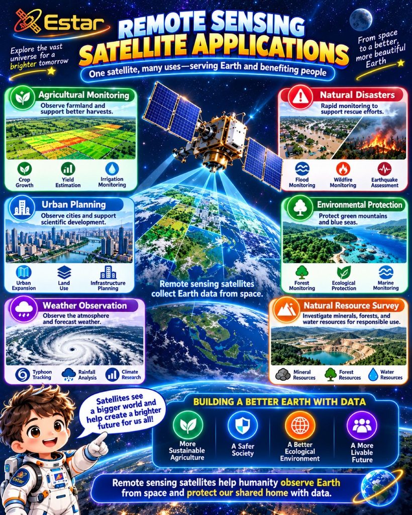
3. Remote Sensing (Earth Observation)
- Core Role: Acting as a high-definition camera or multi-spectral scanner in space to gather data on the Earth’s land, oceans, and atmosphere.
- Key Application Scenarios:
- Environmental Monitoring: Tracking forest fires, preserving grasslands, measuring water and air quality, and monitoring oceanic development.
- Agriculture & Meteorology: Delivering global weather forecasting, monitoring crop health, and estimating agricultural yields.
- Disaster Response & Management: Conducting rapid, large-scale visual assessments for floods, landslides, and wildfire damage to assist insurance and relief efforts.

发表回复